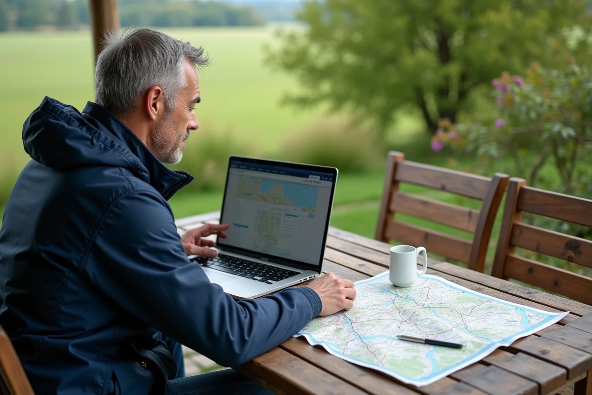
A raw figure, without beating around the bush: 100% of French territory modeled, mapped, and accessible for free on screen. Since 2021, the National Institute of Geographic and Forest Information has opened wide the doors to its online mapping via Géoportail. The IGN Maps application, available on Android and iOS, centralizes these resources with an interface designed for field use, regularly enriched with new options.
Access has never been easier, and yet: many advanced features often remain underexplored. Downloading map backgrounds for offline use, exporting GPX tracks, adapting the display to one’s own needs… all of this sometimes flies under the radar of hurried users. Authentication, syncing routes from one device to another, customization: these are all steps that still raise questions. It is precisely to address these needs that the tutorials provided by IGN methodically guide users, step by step, in exploring each option, each tool integrated into Géoportail.
Why choose IGN maps on Géoportail to explore France?
Navigating trails or the alleys of a city requires more than just a simple map: it needs reliable, up-to-date, and extremely detailed information. Precision of contour lines, identification of every path, consideration of recent changes: IGN mapping on Géoportail stands out as a reference tool for everyone, from the hiking enthusiast to the seasoned urban planner.
The cartographic content ranges from isolated forests to the hydrographic network, including dense urban centers. By overlaying different layers, anyone can cross-reference data, visualize the evolution of the territory, identify the emergence of a trail or the modification of a protected area, all regularly updated by IGN.
To access these resources without making mistakes, it’s better to follow a clear method. Taking the time to use IGN maps on Géoportail is to open a door to geographic information of unquestionable reliability. The dedicated application simplifies each step: overlaying different layers, adjusting the display according to the day’s activity, extracting or exporting data for a GIS project or to prepare for a field outing, everything becomes accessible regardless of the user’s experience.
To better understand the advantages, here are the key benefits of this cartographic ecosystem:
- Topographic rigor: even the least served or most discreet areas appear clearly on the map.
- Continuous data updates: every change in the territory is quickly reflected, with total transparency.
- Adaptability to many uses: hiking, urban planning, environmental management, studies and analyses, everyone has their approach.
Discovering all the possibilities offered takes a bit of time, active curiosity, and some experimentation. The technical guides and tutorials from IGN support this progression, but it is through direct experimentation that confidence in this tool is built.
Frequently Asked Questions: What You Need to Know Before Getting Started
Many questions arise for those starting with Géoportail. How to locate a specific geographic area? Can you print or save a part of the map? What restrictions govern access to IGN data? The IGN Maps application offers several map backgrounds, from traditional topographic to high-definition aerial imagery. To find a place, simply enter the name of the municipality or its geographic coordinates, then points of interest (routes, heritage, hydraulic networks) overlay on demand.
Screenshot capture is allowed for personal or educational use. To print or extract a section, the “Print” function ensures fidelity of the output. However, it is advisable to check for any limitations regarding content from partners. Downloading data, on the other hand, is done within a regulated framework: for professional or scientific use, one must consult the rules set by IGN and ensure compliance with associated licenses.
The IGN Maps mobile application also allows offline consultation, after previously downloading the areas of interest. Aerial photographs and satellite views accompany you, whether for preparing a hike, observing urban developments, or following the course of a river.
Before going further, keep these practical tips in mind to get started well:
- To quickly identify an area, select the appropriate map background and then adjust the zoom according to your expectations.
- To export a geographic data, go through the appropriate section on Géoportail and systematically check the usage conditions.
- For professional use, consult the IGN documentation and take into account the licenses that apply to each data layer.
Video Tutorials to Master the IGN Maps Application and Make the Most of It
Using all the possibilities of the IGN Maps application requires some time to get accustomed. IGN provides a series of video tutorials designed to make each user autonomous, from the casual user to the digital mapping enthusiast. These tutorials detail each step: utilizing different layers, customizing the display, quick search, measurement or location tools, everything is covered.
A search, a click: the interface then offers different scales, displays the chosen area, allows the overlay of topographic backgrounds and aerial views, positions landmarks, and consults specific information according to the locality. Adding and managing layers becomes instinctive. You refine, you adjust, you create your own mapping experience.
To familiarize yourself with these features, the tutorials cover:
- The measurement tool, to evaluate in seconds the length of a route or the area of a terrain.
- Printing and screenshot capture, useful for archiving your findings or preparing a file.
- Exporting map backgrounds and IGN Géoportail tracks to retrieve your routes offline, directly in the field.
These video contents facilitate learning and reinforce confidence in navigation. Everyone progresses at their own pace, unlocking new tips, refining their methodology. The application’s help center gathers all the tutorials, from the first map display to the most advanced customization. Today, creating your own path on the map has never been so intuitive: every horizon is open to you, precise, updated, readable, waiting to be discovered, terrain by terrain.